Stratford
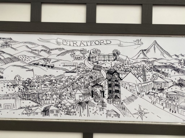
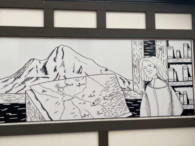
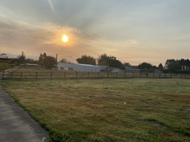
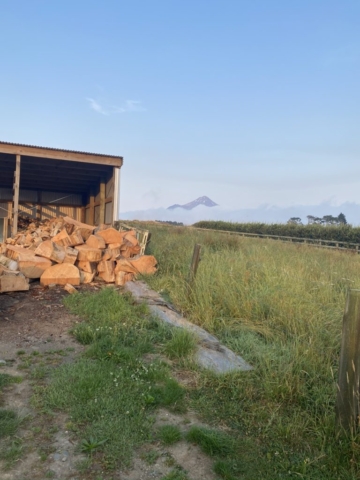
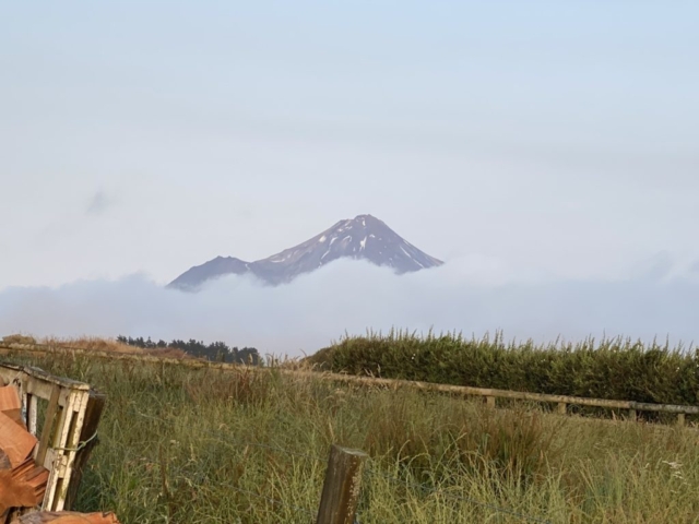
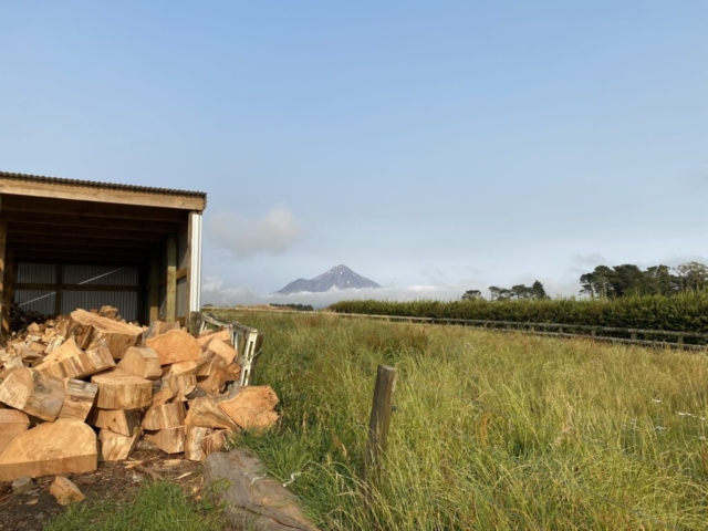
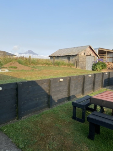
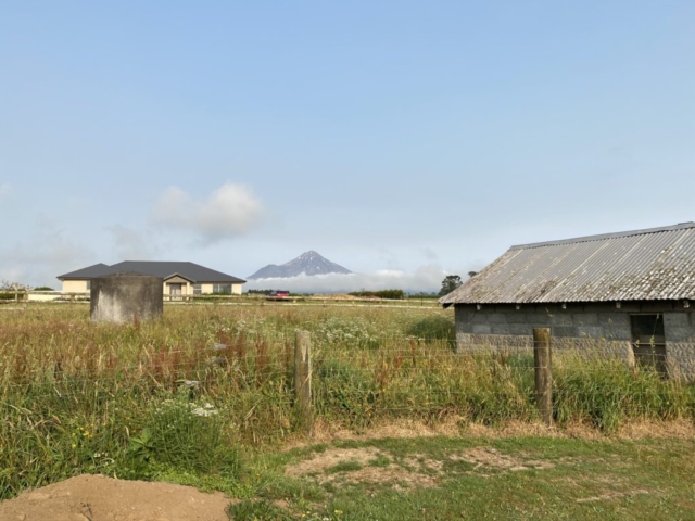
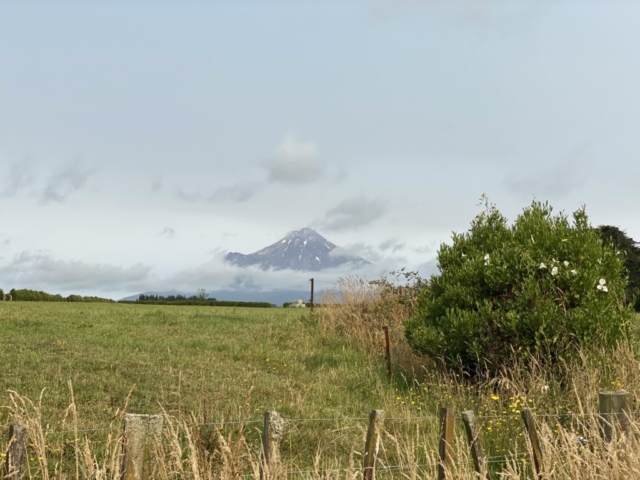
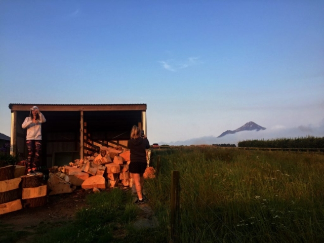
Stratford is the only town in Stratford district in the Taranaki region, situated below the slopes of Mount Taranaki / Egmont. The district includes four major geological features: the Taranaki volcanic cone (2518 m), its associated annular plain, the Patea River basin, and the eastern hill country. An annular plain with a gentle slope, rich volcanic soil and high levels of precipitation provide high-quality pastures and farmland.
Surrounded by a number of small villages and settlements, Stratford is also the gateway to 2 national parks – Egmont and Whanganui.
Name
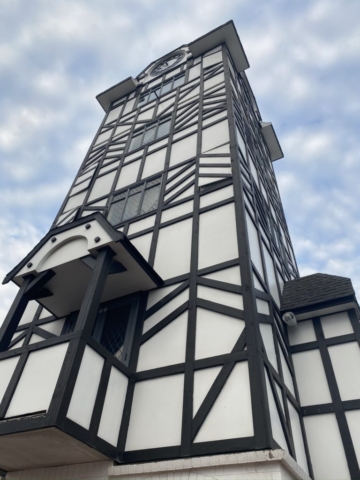
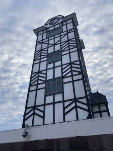
On December 3, 1877, the name Stratford-upon-Patea (similarity of the Patea River to the River Avon in England) was adopted at the suggestion of William Crompton of the Taranaki Waste Lands Board. At that time, it was also common to name cities by the birth of important British men. William Shakespeare’s “union” led to 67 streets named after Shakespeare’s characters from 27 of his plays. Today’s only Glockenspiel Clock Tower in New Zealand plays a balcony scene from Romeo and Juliet three times a day.
Mount Taranaki
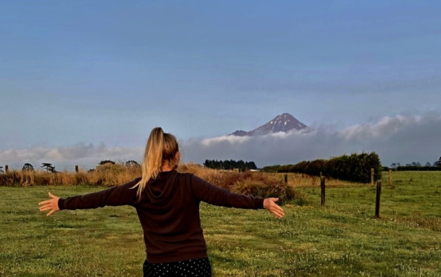
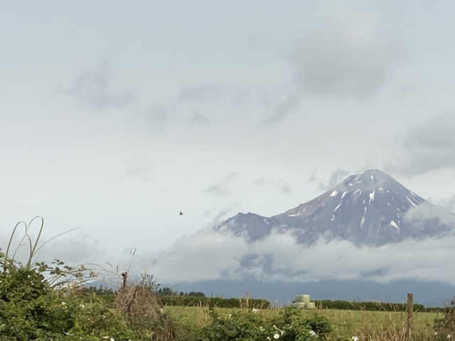
Active stratovolcano in the Taranaki area on the west coast of the North Island of New Zealand. Due to the similarity to Mount Fuji, Taranaki provided the background for the movie The Last Samurai.
Name
For many centuries the mountain was called Taranaki Māori. In Maori, the word tara means the top of the mountain, and naki comes from the word ngaki, whose meaning is “shining,” which refers to the snowy upper slopes. As part of the Taranaki agreement with Ngā Iwi, the mountain will officially be called Taranaki Maunga from 2020.
New Zealand State Highway 43
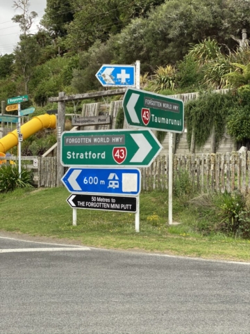
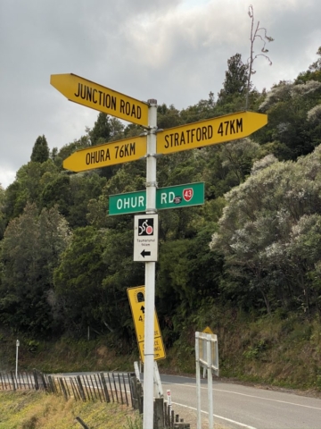
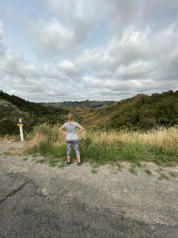
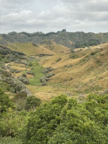
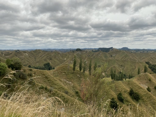
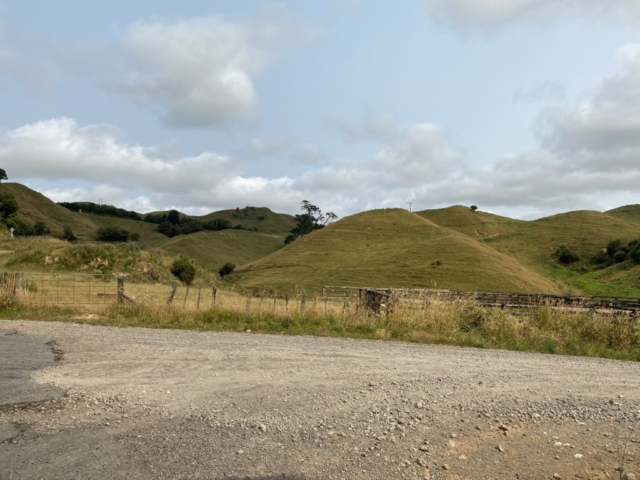
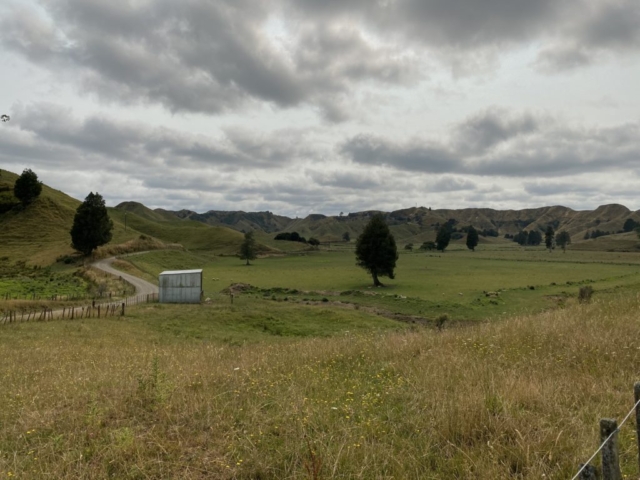
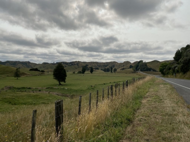
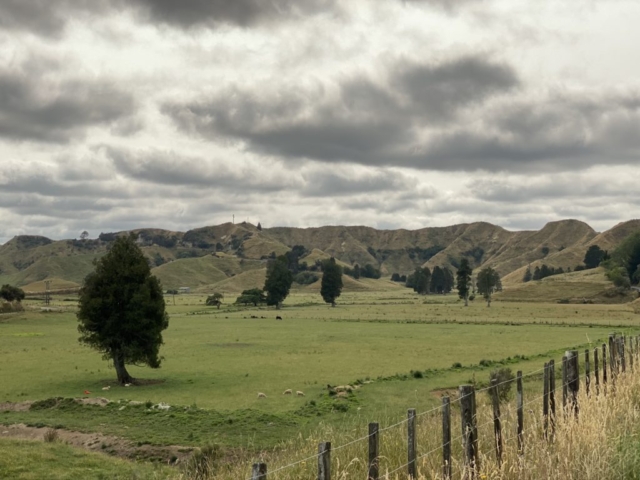
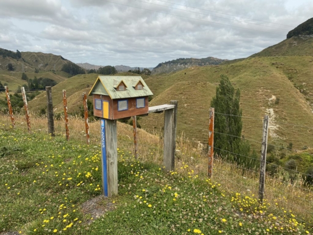
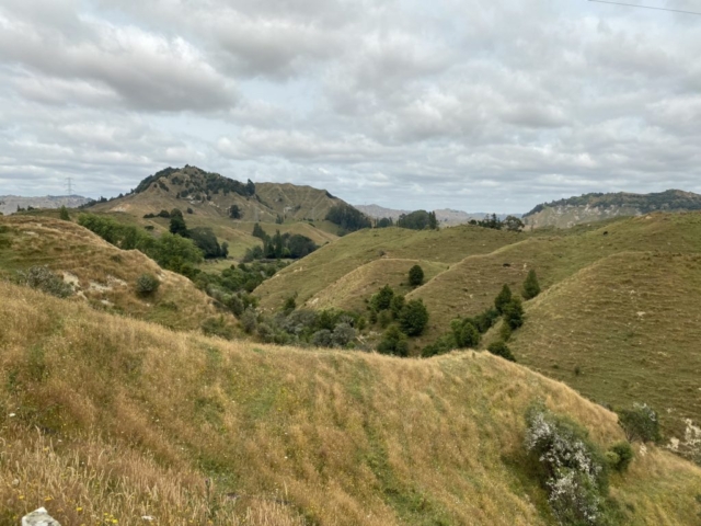
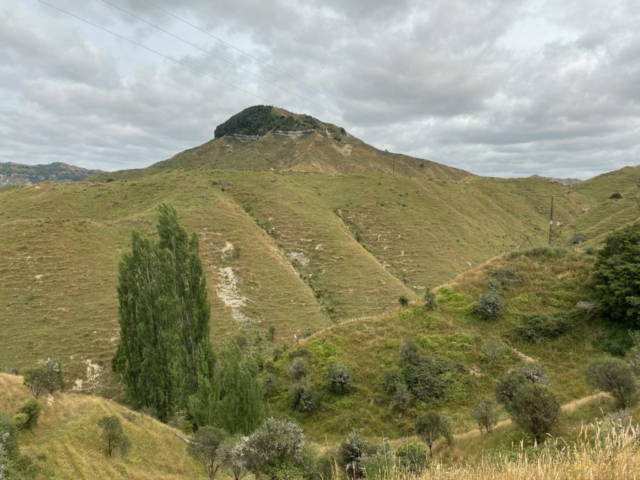
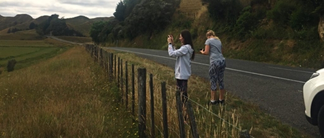
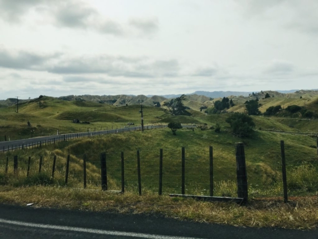
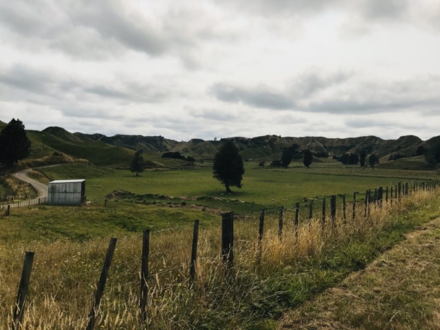
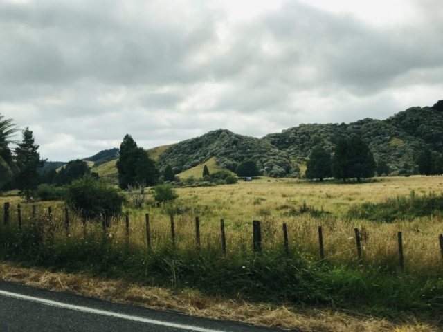
The Forgotten World Highway – the route we continued after leaving Stratford. The motorway is a 3-hour drive away and a rough landscape awaits you. You pass through 3 saddles – Strathmore, Whangamomona and Tahora.
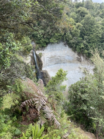
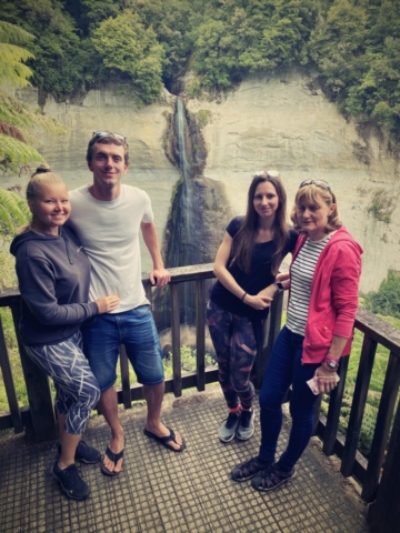
A few kilometres away, you drive through the Moki Tunnel, sometimes known as the Hobbit’s Hole, and turn a little further to Mount Damper Falls, the 4th highest waterfall on the North Island.
According to police, this road is ranked among the 10 worst (least safe) roads in New Zealand. From my own experience, I can confirm the fact that thanks to the winding terrain and sharp corners, even re-drugging with kinedryl did not help …
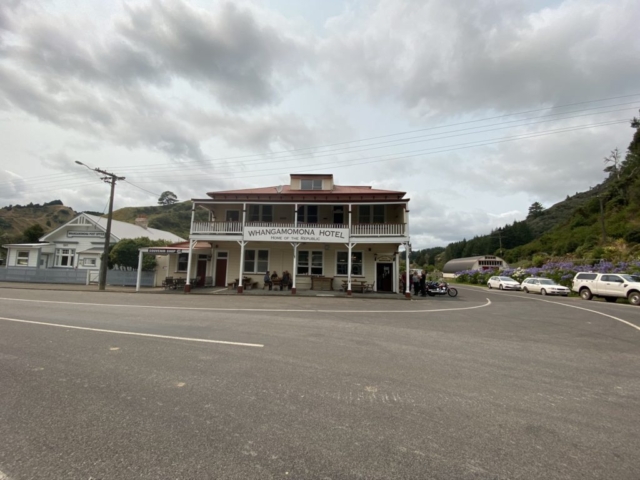
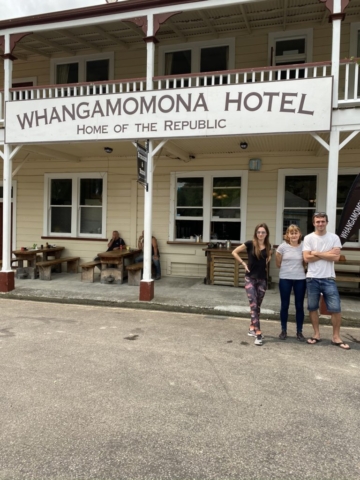
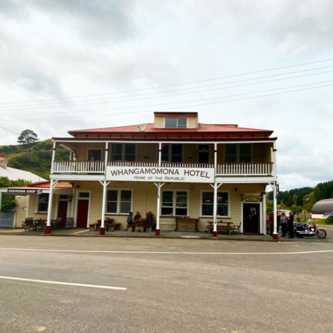
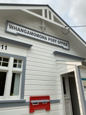
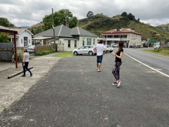
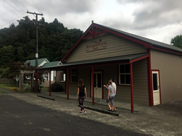
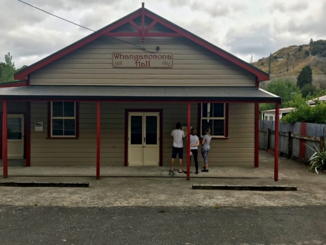
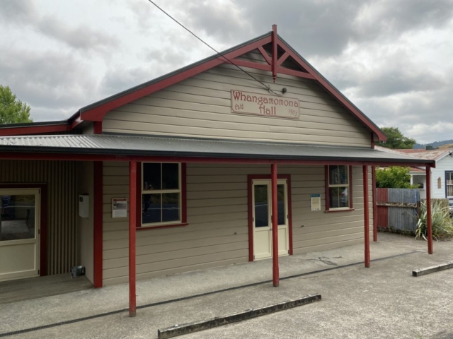
Whangamomona
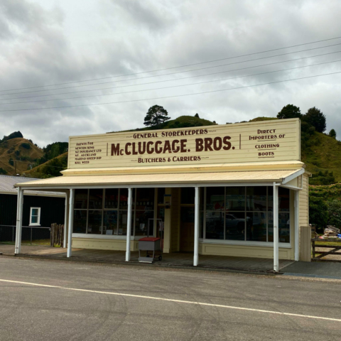
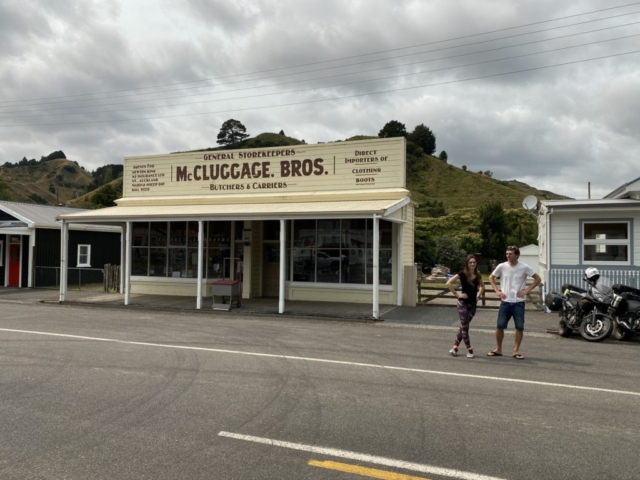
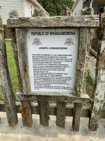
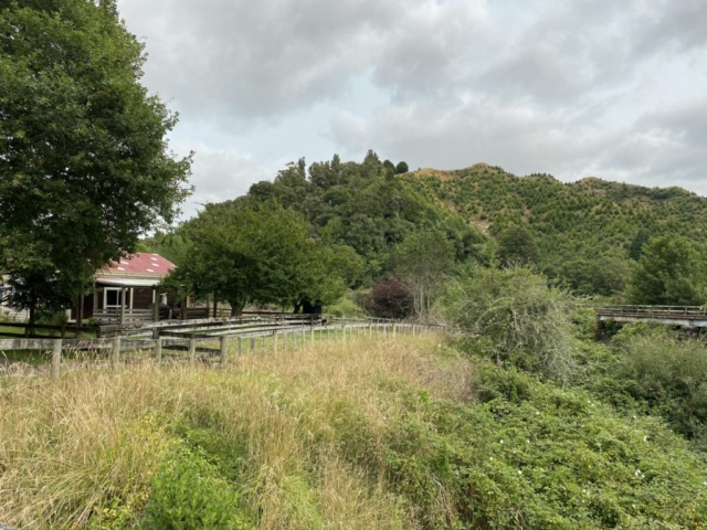
In 1989, after redrawing the border, the village was newly part of the Manawatu-Wanganui district. However, the inhabitants protested because they wanted to remain part of the Taranaki region, and on 1 November 1989 they declared a republic. Although the movement began as a sharp protest, the municipality began to organize regularly once a year the so-called Republic Day, during which the inhabitants vote President.
Where does our journey continue?
Despite all the winding turns and saddles, we go ahead to New Zealand’s largest lake – Taupo.
